
Tracing a Swatara Township Street Record
A street-by-street search starts with parcels, not a people list. Dauphin County Property Tax Inquiry accepts a low house number, high house number, street name, and a township or municipality filter. Its own guidance says to enter house number and street name without a directional or suffix when the parcel number is unknown. Select the specific parcel, then record the site address, current owner, UPI, deed reference, and the separate mailing field. The resulting trail is evidence about a property and owner association, not proof of every person who may live there.
- Search the Property Tax Inquiry with the address and Swatara municipal filter, then keep the selected parcel's UPI and deed clue.
- Open the Township-linked county parcel map to orient the parcel against the street and nearby polygons.
- Use the UPI, owner name, book/page, or instrument clue in the Recorder's Acclaim index to find a recorded transfer.
- Read the legal description and named parties, then follow the prior owner as grantee when tracing a deed chain backward.
- For an older address lead, inspect a relevant Harrisburg-area directory volume's street-number section and verify its coverage of Swatara.
Note: The individual voter-status route is not a public street browser, and a property record should never be expanded into a household roster.
Swatara Township Street Directory Search Fields
The Property Tax Inquiry is the Street Directory's key address form. House Number Low, House Number High, Street Name, and Townships/Municipalities can be used independently or together. Owner name, parcel number, sale range, year built, area, building, and class filters give other ways to narrow a result. The county makes no ZIP filter available on this screen. For a named Swatara Township street, search the number and street first, select the relevant parcel, and then confirm the result from the official record rather than a map label alone.
| Field | How the street directory uses it |
|---|---|
| House Number Low / High | Set a defined address or numeric segment. |
| Street Name | Find parcel results on the named street. |
| Townships/Municipalities | Limit a broad result to Swatara. |
| Owner Name | Confirm a known ownership association. |
| Property ID / UPI | Carry the parcel identity into map and deed work. |
Swatara Township Building & Codes is one documented local address-record channel when a permit or plan, rather than an ownership trail, is at issue.
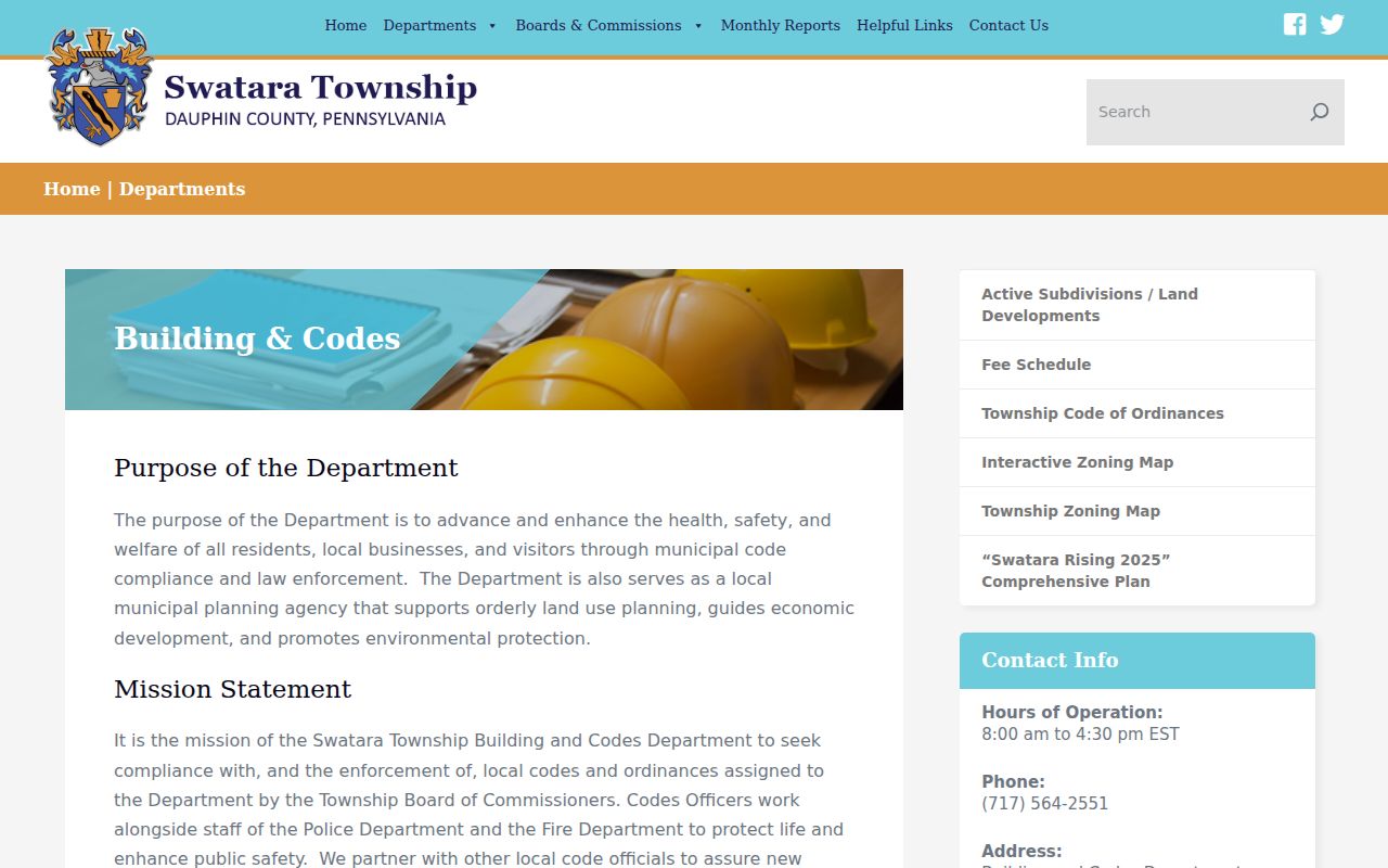
Department material can date a public record event at an address, but it is not a searchable resident directory.
Swatara Township Street Situs and Mailing Fields
The address field that looks most familiar can still mean the wrong thing. Dauphin assessment records distinguish a parcel's property or situs address from the owner's mailing address. The County's tax-roll metadata specifically says its city, state, and ZIP attributes describe mailing addresses, and Tax Assessment does not maintain those postal fields for site addresses. A tax bill sent to another address is a delivery fact. It does not establish where an owner is living, and it does not identify other residents at the parcel.
This distinction also protects a street-directory search from false matches. Keep the site address next to the UPI and deed reference. Treat mailing information as a separate field that may be useful for an estate or contact question only when the record context supports it. The in-office electronic property record card can contain more parcel features, such as a building sketch, rooms, baths, lot dimensions, and square footage, than the online result. Those features describe the taxed property, not people.
Swatara Township Street Maps Need Confirmation
The Township's Stormwater Apps & Maps page links the Dauphin County Parcel Viewer, and county GIS/open-data resources offer an additional map path. Use them to click or browse a parcel, see its position on a street, and orient nearby polygons. County GIS describes its mapping as continually updated but provides no warranty for positional or thematic accuracy. The inspected public pages did not document a buffer, radius, or whole-street selection tool, so a street directory should not claim one exists.
A map is a reference layer, not a survey. Confirm owner and assessment attributes in Property Inquiry, then confirm a boundary question through the recorded legal description or a surveyor when boundary markers matter. This division of work is important on a street with lots, plans, or parcel changes. The map helps find the right parcel, while the assessment and Recorder records describe the official trail.
Swatara Township Street Deed Index Routes
The Recorder's Acclaim index provides several paths that help a street directory after the assessment step. The home screen supports Name, Instrument, Document Type, Book/Page, record date, consideration, UPI, municipality/comments, and Alpha Index navigation. Name search uses a Last, First format with at least three characters, and document type plus date controls refine it. Municipality/comments can use Swatara with a document type or date, but it is an index text filter, not an address field. An owner, UPI, or book/page from assessment is therefore more dependable than a street label alone.
The Recorder's Acclaim name-search form shows the county's documented name, document-type, and date-range controls.
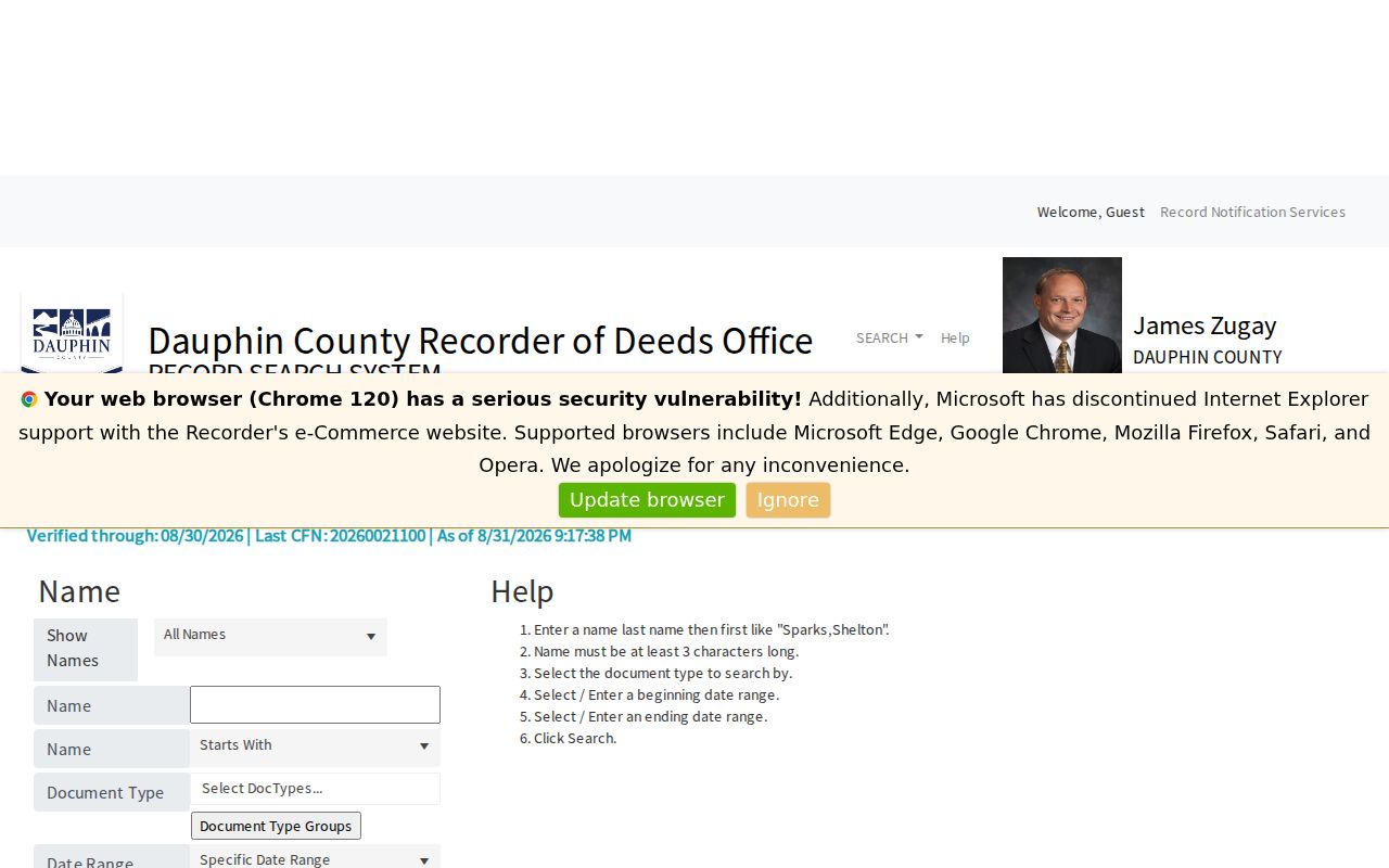
The result index supplies document clues; consult the actual recorded material or the courthouse counter for the authoritative document route.
Swatara Township Street Directory Sources
Each address-keyed source sees a different piece of a Swatara Township street. Assessment is the main current parcel route. GIS gives a reference view of parcel geometry and road layout. The Recorder supplies the document history through a party, UPI, or document reference. Township Planning and Building & Codes files may add a dated plan or permit context. The local historic shelf may provide an address listing for a selected period, but no continuous Swatara criss-cross run was verified. Use the source that matches the question and retain its stated limits.
| Record Set | Keeper | What It Shows | Access |
|---|---|---|---|
| Property assessment | Dauphin Tax Assessment | Current owner, site and mailing fields, value, UPI, deed clues | Property Inquiry and counter |
| Parcel/GIS data | County GIS and Township-linked viewer | Parcel geometry, map orientation, periodic tax attributes | GIS and map routes, reference only |
| Recorded deeds and plans | Dauphin Recorder of Deeds | Parties, document type, legal description, date, plan clue | Acclaim index and courthouse counter |
| Planning and code records | Swatara Building & Codes / Planning | Dated application, plan, or regulatory event | Department route, counter, focused RTKL request |
| Historic directories | HSDC and East Shore Area Library | Dated name/address listings in collections with variable scope | Library, microfilm, or research-service route |
The UPI is the bridge between the assessment record, mapping, plan work, and the Recorder's index. A street name alone can fail when an old record uses a plan, lot, block, rural route, or legal description. The full voter export has a separate $20 request process and statutory affidavit; it should not be represented as a public browse-by-street list.
Swatara Township Street Permit Fallback
Swatara Building & Codes handles construction, alterations, zoning, floodplain, stormwater, street-opening, subdivision, land-development, and occupancy-related applications. Active plan material can be keyed by an address or plan name. No public searchable Township permit index was located. When a date or project record is needed, ask for an existing, narrow set of permit, plan, certificate, or hearing records at the address through the department counter or the Township's Right-to-Know process. Do not ask staff to create a list of people associated with a street.
A permit or plan can help date a building, land-use, or development event. Reconcile that date with the assessment year-built clue, recorded plan or deed date, and other primary material. A listed applicant, plan owner, or meeting commenter shows a relationship to that record when it was made. It does not establish a present household connection. This is the local administrative branch of a Swatara Township street directory search when the online property and Recorder systems do not answer the question.
Note: A specific, date-bounded request is more likely to identify an existing public record than a broad request for information about everyone on a street.
Swatara Township Street Numbers in Old Directories
Historic street work moves from the current record chain to the Harrisburg-area directory shelf. The Historical Society of Dauphin County says some Harrisburg directories include a second listing by street number, and its volumes can include nearby places such as Steelton and Middletown. East Shore Area Library offers Harrisburg city directories on microfilm from 1861 through 1901. For a Swatara Township address, inspect the selected volume's title page, geographic scope, alphabetical section, street-number section when present, and abbreviation key before treating an absence as meaningful.
A criss-cross directory is the reverse kind of listing: it organizes entries by address or street rather than only by surname. It can turn an old address into a household lead in a volume that contains that feature. It is not proof of a complete Township-wide address roll. The historical collections, including their documented years and onsite channels, belong on the Swatara Township directory book rather than being repeated here in full.
- Situs address
- The property location, as distinct from a mailing address.
- Plat or plan
- A recorded map or subdivision reference that can preserve the land identity.
- Criss-cross directory
- A directory section arranged by street or number instead of surname.
Swatara Township Street Records Since 1785
Dauphin County's Recorder says deeds and miscellaneous documents reach from 1785 to the present, and its Alpha Index offers historical-index navigation. Mortgages start later in the Recorder's stated web coverage, from 1979 forward. That long deed trail is valuable when a modern street number fails, but it does not mean older documents use the current address. Carry the legal description, plan, lot, block, UPI, and prior book/page as the bridge between a current parcel and an older description.
For a current address route, the Property Inquiry, parcel map, Recorder index, departmental counter, library shelf, and archive are complementary access channels. None replaces the others. Use the online form first when it has the search field you need. If it does not, the counter, a narrow RTKL request, East Shore microfilm, HSDC research service, or the State Archives public search room may be the documented next step.
Limits of a Swatara Township Street Directory
A street record cannot identify every person at an address or reliably sort an owner, visitor, former resident, or another household connection. The tax mailing field is not the situs field. DMV address information is protected by the federal Driver's Privacy Protection Act, private utility data are not a public roll, and protected addresses may be absent or substituted. Township permits can document a record event at a property, but the Township does not publish a searchable permit database and an applicant is not automatically a current resident.
Lawful use. Address records are for legitimate personal, family-history, property, estate, civic, or safety questions. Never use them to stalk, harass, intimidate, or harm anyone.