
Swatara Township Neighbors and Block Records
Public records can orient a block around one Swatara Township address, but every source answers a limited question. The parcel viewer supplies map context. Assessment data provide the current owner, site address, separate mailing address, parcel ID, values, and deed clues. The Recorder follows an individual parcel's recorded transfer or plan history. Township notices can establish a dated public planning or hearing record. None of those channels is a public household roster, and an unreturned search is not a finding about a person.
| Source | What it shows about a block | Access and limit |
|---|---|---|
| County parcel viewer and GIS | Parcel geometry, nearby parcels, street orientation, and map relationships | Reference map only; no verified radius or buffer tool |
| Property Tax Inquiry | Current assessment owner, site and mailing fields, parcel and deed clues | Owner is not necessarily an occupant; mailing address is not situs |
| Recorder of Deeds | Recorded transfers, plans, easements, restrictions, and legal descriptions | Address search is usually indirect through owner, UPI, or legal description |
| Township notices and plans | Public hearing, permit, subdivision, or project context for an address | Not a resident list; use a specific counter or RTKL request |
| Election resources | Precinct geography and personal voter-status route | No public street-by-street roster is represented |
| Historic directories | Older address listings in volumes that contain a street-number section | Historical, incomplete, and subject to each volume's geographic scope |
For a current owner question, assessment is the first confirmed source. For a boundary or transfer question, carry the parcel ID into the deed trail. For an older household clue, check a dated directory only after its local scope is confirmed. That order keeps a Swatara block check tied to records rather than assumptions.
Swatara Township Neighbor Parcel IDs
A Dauphin Property ID or UPI remains with a parcel despite a change in ownership. That is the practical connector between the assessment result, map feature, Recorder search, plan, and legal description. For Swatara Township neighbors, record the focal parcel's UPI first and use it to keep one property distinct from the parcels next to it. The parcel identifier is more dependable than a name match when several people share a name or when a street label has changed over time.
The Dauphin County Property Tax Inquiry accepts parcel number, owner name, house number, street name, sales, municipality, neighborhood, building, and property-class criteria. Enter at least one criterion. The County advises house number plus street name without directional wording or a suffix when no parcel number is known. Use the Swatara Township municipality control to narrow a broad set. Then preserve the UPI and site address before moving to the Recorder or map.
- UPI / Property ID
- The County's persistent identifier for a tract, lot, or parcel, even after ownership changes.
- Situs address
- The location address for a parcel, distinct from an address used to receive tax mail.
- Legal description
- The recorded parcel description that may refer to a lot, plan, bounds, or other terms instead of a street number.
Map Swatara Township Neighbor Parcels
The immediate-block method stays narrow. Locate the known parcel, orient yourself with neighboring polygons, and confirm each separate parcel in the assessment system. Dauphin County describes its GIS and tax-roll material as reference data that can change and gives no warranty for positional, thematic, or interpretive accuracy. The official material inspected does not document a buffer, radius, or whole-street selection tool. Use map click and browsing for orientation, not a broad-radius person search or a substitute for a survey.
The Swatara Township Stormwater Apps & Maps page directs residents to the County parcel-view resource.
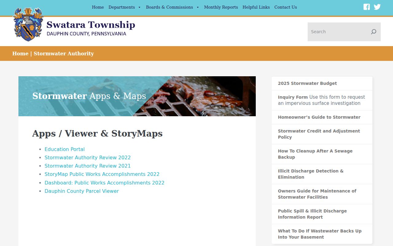
The Township-linked map is useful for matching nearby parcel shapes to an address, while the Property Inquiry remains the source for confirmed assessment details.
- Locate the focal Swatara Township address and save its UPI, site address, and displayed deed reference.
- Click or browse only the polygons immediately adjacent to that parcel and record each separate parcel ID.
- Run each parcel ID through Property Tax Inquiry to confirm its current assessment owner and distinct site and mailing fields.
- Use a Recorder search for a transfer, plan, easement, or legal-description question tied to one parcel.
- For a boundary question with legal consequences, rely on the recorded description and a qualified survey professional, not a map screen.
Swatara Township Neighbor Mailing Fields
A common mistake is to read the tax-roll mailing city, ZIP, or address as the place where an owner lives. County assessment guidance separates the property address from the owner's mailing address, and the official tax-roll metadata says its city, state, and ZIP fields are mailing-address fields rather than maintained site-address fields. A tax bill can go to an agent, post-office box, alternate address, or other correspondence point. It is not household evidence.
The assessment card can still be useful. It may identify current owner names, deed information, assessed values, lot dimensions, building sketch, square footage, rooms, baths, and other physical parcel details at the office. Those features describe the taxed parcel, not the people inside it. Treat a record as a fact about the field it actually provides, especially when comparing Swatara neighbors near a focal address.
| Official record route | Commercial neighbor-tool category | Best use |
|---|---|---|
| County assessment, Recorder, and Township records name the custodian and record type | May combine listings from changing sources with unclear update dates | Use official records for a defined property, deed, plan, or public notice question |
| Parcel and legal-description data can be checked at the responsible office | May blur owner, mailing, and occupant information | Confirm each field with the custodian rather than treating a compiled listing as a household finding |
Note: A mailing address on a tax record identifies where correspondence was sent, not who occupied the Swatara parcel.
Swatara Township Neighbors in Recorded Documents
The Dauphin Recorder Acclaim index is the next route when a nearby parcel has a recorded-history question. The index provides search modes for Name, Instrument Number, Document Type, Book/Page, Record Date, Consideration, UPI Number, Municipality/Comments, and Alpha Index. A street address normally reaches those documents indirectly, through a UPI, owner, book and page, instrument, plan name, or legal description obtained from assessment data.
Recorded documents can identify transfer parties, record date, document type, legal description, plan reference, or an easement or restriction. They do not establish the present occupants of a home. Start with the current grantee or known UPI, read the record, then carry the legal description backward only when the question concerns that parcel's history. For a full named-street sequence, use the Swatara Township Street Directory rather than stretching an immediate-block review into a broad roster.
Swatara Township Neighbor Planning Notices
Planning and municipal documents can give a block public context without turning a project record into a neighbor list. Swatara Township's active-development information uses address and project labels such as Derry Street, Eisenhower Boulevard, Executive Park Drive, Leon Avenue, Rutherford, and Steelton Terminal. Building & Codes handles construction, alteration, zoning, floodplain, stormwater, street-opening, subdivision, land-development, and related applications. A hearing or plan can establish that a project was publicly noticed at a location on a date.
No searchable Township permit database was identified. Use the Building & Codes page, a counter inquiry, or a specific Right-to-Know request for existing permit, plan, certificate, or hearing records tied to an address. The Township requires enough detail to locate existing records and distinguishes records requests from questions. That fallback is more accurate than asking staff to create a list of people living near a property.
Swatara Township Precincts, Not Neighbor Rosters
County polling-place material offers a useful civic-geography check for Swatara Township neighbors, but no household roster. Dauphin County lists ten Township precinct entries, including Tri-Community, the Township Municipal Building, Swatara Middle, Living Water, Rutherford, Lawnton, Chambers Hill, WITF, and the Vietnam Veterans Bingo Hall. Those locations illustrate local precinct geography and the Township's Harrisburg postal labels. They do not identify the voters who live on a block.
The Pennsylvania voter-registration status tool is an individual self-status route, not a browse-by-street interface. The statutory full voter export is a requested product with an affidavit and use limits, not a general neighborhood list. For precinct questions or record corrections, use Dauphin County Registration & Elections. Do not use a polling place as a proxy for an address or a claim about a household.
Swatara Township Neighbor Postal Labels
Swatara Township uses Harrisburg postal labels at its offices and several county facilities, so a postal city alone does not settle the municipality of a block. County polling-place examples confirm both 17111 and 17113 at Township locations, yet those examples are not a complete ZIP boundary map. Separate municipal boundaries, a parcel's site address, mailing ZIP, precinct, and legal description. Each serves a different record purpose.
No verified public Swatara Township umbrella directory of neighborhood associations, homeowner associations, member rosters, block-watch rosters, congregation lists, or other private community membership was located. Public civic records are the appropriate substitute, not invented associations. These verified local channels can answer an address or process question without claiming a membership list:
Planning and Zoning
Use Township planning notices, active-development records, or a focused records request for public address and project context.
Registration and Elections
Use the county office for precinct questions and the voter for personal registration-status confirmation.
Historical Collections
Use HSDC or East Shore library material for dated local-history leads, not current private membership claims.
Note: No verified association directory was found, so a public notice or map should not be presented as evidence of membership.
Protected Swatara Township Neighbor Records
Some gaps are required protections, not failed research. The Pennsylvania Address Confidentiality Program provides eligible participants with a substitute mailing address in court and state records, voter registration, driver and vehicle records, school records, marriage licenses, and utility billing. It is part of a safety plan and renews every three years. A substitute or missing address should not be bypassed. Utility data, DMV personal information, and a reliable list of all occupants are not public parcel-search results.
The Pennsylvania Address Confidentiality Program describes the protected-address route and enrollment options.
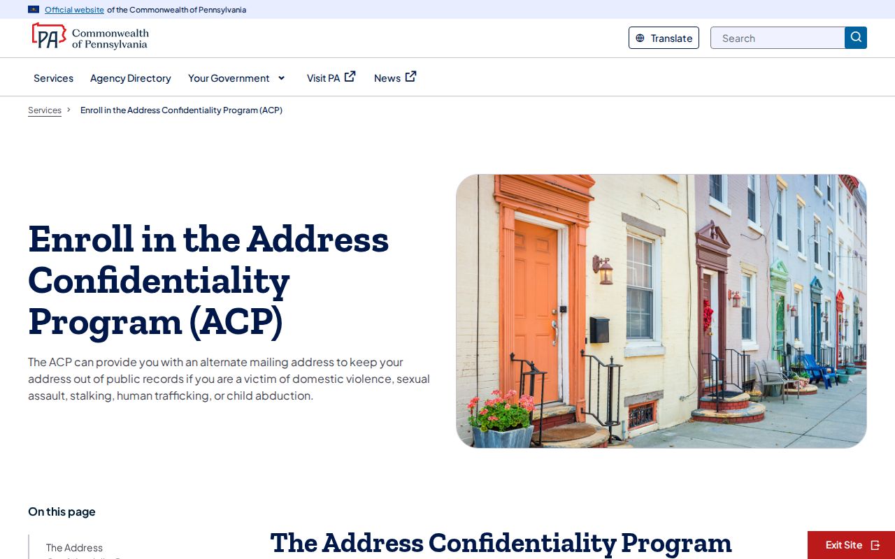
The ACP is a reason to respect an absent or substitute address, not a way to infer a person's location from other records.
Lawful use. Use Swatara Township neighbor records for a defined property question, civic context, family reconnection, or personal safety awareness. Do not use them to monitor, harass, intimidate, threaten, or harm anyone.
Swatara Township Neighbor Parcel Alerts
The Dauphin Recorder's Record Notification Service can send an email when a document matching a name, property, or parcel number is recorded. It is useful for keeping watch on a defined parcel record over time. An alert does not establish ownership, fraud, or the identity of an occupant. Review the matching document in the official index or with the Recorder before reaching a conclusion about a nearby property.
The Recorder Record Notification Service FAQ states how an alert works and why the underlying document still needs review.
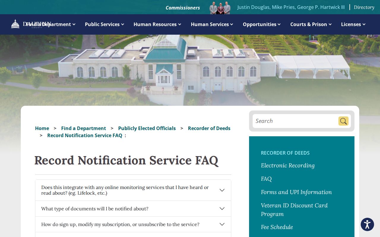
The service is a record-monitoring layer for one defined property trail, not a broad tool for identifying people around a Swatara Township block.