
Swatara Township ZIP Code Directory Coverage
Official county records support two ZIP codes for Township locations: 17111 and 17113. The evidence is the Dauphin County polling-place table, which lists Township precinct locations with Harrisburg postal labels. This is carefully bounded evidence. It confirms local examples, but it does not prove a complete Township-wide ZIP boundary, a unique ZIP, a post-office service area, or every ZIP that may touch the municipal edge. A ZIP code directory should therefore distinguish confirmed examples from a claimed boundary map.
| ZIP | Confirmed Township examples | Postal label | Records caution |
|---|---|---|---|
| 17111 | Township Municipal Building, Living Water, Rutherford, Lawnton, Chambers Hill, WITF, and the bingo hall precinct sites | Harrisburg | Examples support local use, not a complete municipal boundary. |
| 17113 | Tri-Community Elementary and Swatara Middle precinct sites | Harrisburg | Examples support local use, not an exhaustive delivery-area claim. |
The Dauphin County polling-place table supplies the ten named Township precinct entries behind those examples. A polling site helps identify civic geography. It is not a resident roster or proof that every nearby delivery address uses the same ZIP code.
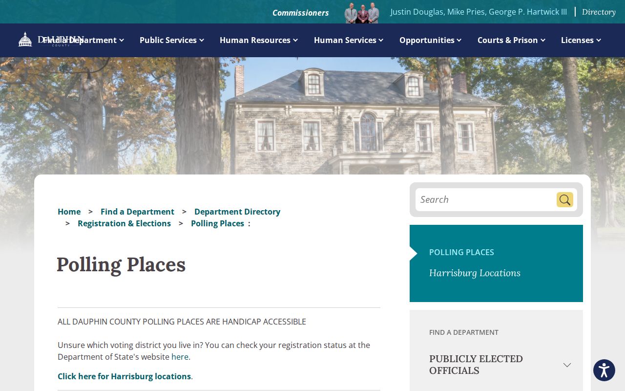
These public precinct entries show why both postal labels need to be considered during Swatara Township ZIP code research. They also show why precinct, municipality, and ZIP must remain separate categories.
USPS Checks for Swatara Township ZIP Codes
The official way to verify the ZIP for a specific delivery point is USPS ZIP Code Lookup. It needs a complete address. The research did not identify an official USPS polygon or a county dataset that proves every ZIP intersecting Swatara Township. That gap is important. It means a search should verify an actual delivery address instead of assigning a ZIP from a third-party map or from a similar street name.
- Enter the complete delivery address in the USPS lookup, including the house number and street.
- Record the returned ZIP and any standardized address wording.
- Check the municipality and parcel location through Dauphin County property and map resources.
- Keep the verified delivery ZIP separate from a tax bill's mailing ZIP or a precinct label.
- Use the confirmed address, not the ZIP alone, for a street-level county search.
The USPS address lookup is the source for the delivery result, not a general search by Township name. It is especially useful where a Harrisburg label might otherwise be mistaken for a City of Harrisburg location.
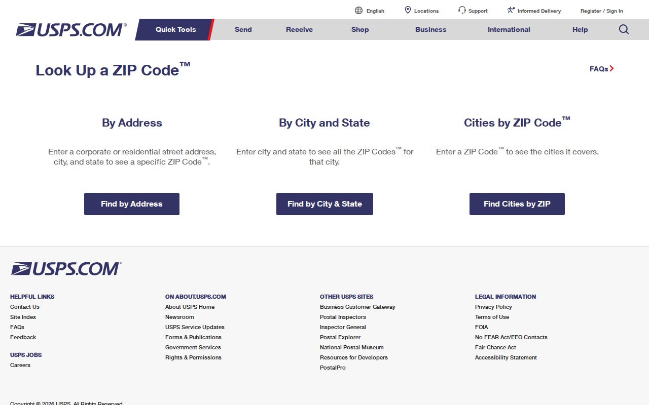
The USPS screen belongs at the front of the verification chain because it tests a full delivery address. County records then add the Township and parcel context that a postal result does not provide.
Note: Do not publish marginal ZIPs for Swatara Township unless USPS or a county authority confirms the particular delivery area.
Swatara Township Mailing ZIP Myth
A tax-roll ZIP is not always the ZIP of the parcel itself. The county's ArcGIS tax-roll service says city, state, and ZIP fields are mailing-address fields, while the site address is structured separately. The service is also a periodic extract that may not reflect the most current Tax Assessment file. A mailed tax bill can therefore show where correspondence goes without confirming the delivery ZIP, municipal identity, or occupants of the taxed parcel.
The distinction matters for every ZIP code directory search. A parcel's site address identifies the property location. A mailing address can belong to an owner or other recipient elsewhere. Neither field establishes a current household. This is a local records rule, not a technicality: the county explicitly says Tax Assessment does not maintain the tax-roll city, state, and ZIP as site-address fields.
Swatara Township ZIP Code Search Limits
Dauphin County Property Tax Inquiry does not have a ZIP field. Its local geography control is Townships/Municipalities, and its address controls use number and street information. That makes the official ZIP workflow a two-step process: verify a full delivery address with USPS, then use the county system to check the Swatara Township parcel and its assessment record. The county page reports a data-update timestamp, which is useful for freshness, not proof of an effective ownership date.
| Property Inquiry field | How it helps after a ZIP check | What it cannot do |
|---|---|---|
| Townships/Municipalities | Limits a result set to Swatara Township. | It is not a ZIP filter. |
| House Number and Street Name | Finds a specific site address or range. | It does not prove a delivery ZIP. |
| Parcel Number | Connects assessment, map, and recorded-document work. | It is a county parcel identifier, not a postal code. |
| Owner Name | Tests a current ownership association. | It does not identify every occupant. |
| Neighborhoods | Uses county assessment values. | It is not a USPS service boundary. |
Use the Dauphin County Property Tax Inquiry with at least one criterion. The county suggests a parcel number, the owner surname as printed on the tax bill, or a house number and street name without the directional or suffix. For a complete address-by-address sequence, use the Swatara Township street directory after the ZIP has narrowed the research target.
Swatara Township ZIP Public-Safety Search
Pennsylvania State Police Megan's Law has a ZIP search option, but it is a public-safety registry with its own statutory warning, not a general resident directory. The registry can also search by name, city or municipality, county, address or radius, and it offers alerts. Its records can be outdated or inaccurate, and the State Police says positive identification requires fingerprint comparison. Use its data only for the purpose and limits stated by the registry.
The Megan's Law ZIP search shows the state route and terms that govern this particular public-safety search.
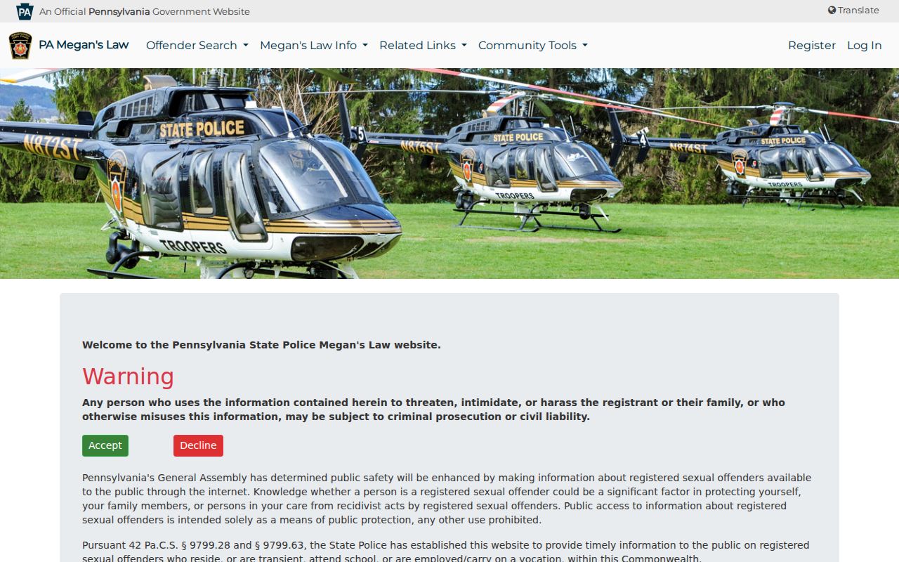
The registry image should not be read as a list of everyone in a ZIP code. It is a specialized system with identity, accuracy, and misuse warnings that remain in force even when a ZIP search is available.
Swatara Township ZIP and Precinct Geography
A postal area, a voting precinct, a parcel, and a legal description are different maps. Swatara's ten named precinct entries, including Tri-Community, Township Municipal Building, Swatara Middle, Living Water, Rutherford, Lawnton, Chambers Hill, WITF, and the bingo hall, provide official civic-place names. They should not be converted into informal neighborhood boundaries or address lists. The Township's planning pages can similarly identify a project or record by street or plan name without establishing who lives nearby.
County GIS and the Township-linked parcel viewer provide a separate map route. They help orient a researcher to parcel geometry and site location, but the official sources inspected did not document a verified ZIP overlay or ZIP-wide parcel selection. Confirm a parcel attribute in Tax Assessment, and confirm a delivery address in USPS rather than inferring either from a map click.
Swatara Township ZIP Code Terms
Postal terms describe mail handling. They are useful when a record displays a full address, but they should not replace Township, county, parcel, or court identifiers. Keeping the terms separate prevents a ZIP code directory search from claiming more than its evidence supports.
- ZIP Code
- A Postal Service delivery geography used to route mail, not a municipal boundary.
- ZIP+4
- An added four-digit segment that further sorts a delivery location within the base ZIP.
- PO-box ZIP
- A ZIP used for post-office boxes; the research did not verify one for Swatara Township.
- Unique ZIP
- A ZIP assigned to a single organization or delivery point; none was verified for Swatara Township.
- Carrier route
- A Postal Service delivery sequence, not proof of legal ownership or household membership.
Not every useful geography is postal. The Property ID, also called a UPI, stays with a county parcel regardless of ownership and can bridge assessment, map, and Recorder searches. A legal description and plan reference may matter more than a street label for older property records.
Swatara Township ZIP Code Cautions
Only 17111 and 17113 are supported here because official county material supplied Township examples for those ZIPs. The research did not verify a complete postal polygon, a historic ZIP realignment, a Township-wide street-renumbering history, or other marginal ZIPs. Leaving those claims unmade is more accurate than turning a postal assumption into a local fact.
A reliable proof chain is simple: full address to USPS, address and municipality to Tax Assessment, parcel location to GIS, and then the appropriate county record if a property or civic question remains. Do not treat a mailing ZIP, a polling-place ZIP, or a registry result as evidence of a person's current address. Public records must be used lawfully, and missing or protected data should not be pursued through indirect means.
Swatara Township's public planning material adds one more address-based channel, not a ZIP directory. Active development and subdivision records can identify a plan, street, lot, or project label, then the Planning and Zoning counter or a narrow Right-to-Know request can address an existing record. No official online permit search by ZIP or parcel was located. A planning record establishes a dated relationship to a project, not a home address or a list of people in a postal area.
Note: Use the custodian that keeps the underlying record when postal evidence and county evidence do not agree.